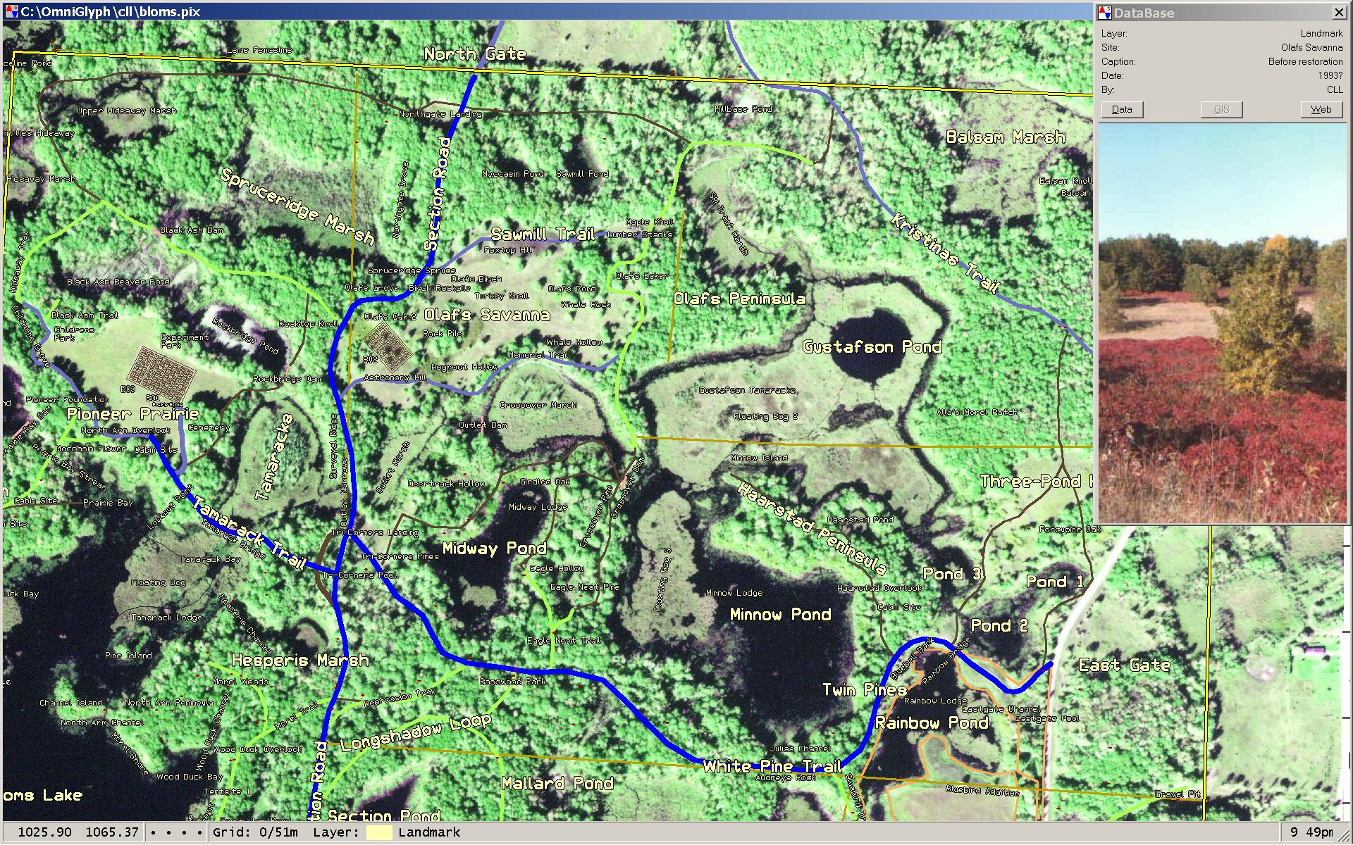
Geographic Information System
CC-GIS is a powerful Geographic Information System that ties together satellite
imagery, graphical display objects, and information databases. In the example
shown below, the backdrop is a high-resolution aerial photo that has been
overlain with an assortment of named targets. When the cursor is positioned
above any of the target objects, key parameters are extracted from the object
and are used to access a set of data bases. The resulting data are displayed
in a pop-up box (shown here on the far right). In addition to simple parameters,
the dbase may identify a picture to be displayed or a web site to be accessed
with a browser.